|
|
|
Advertisements:
Administrative divisions (325 GPS Maps)
Comments
Add a new comment: |
Advertisement
Members area
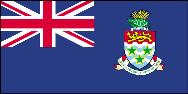
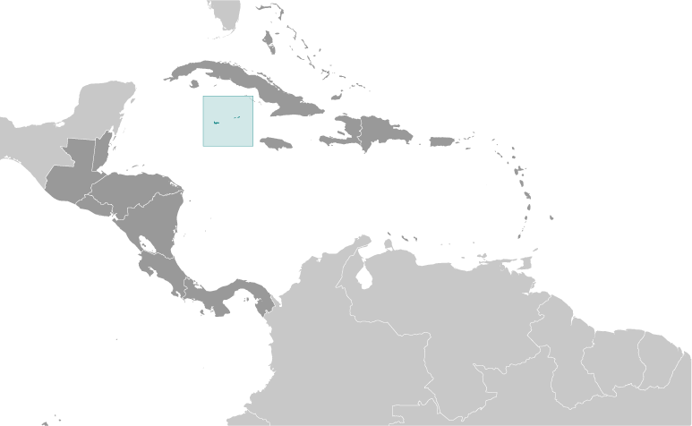
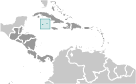
Cayman Islands [ United Kingdom ] (Overseas Territory):
GPS points from Cayman Islands [ United Kingdom ] (Overseas Territory)
|
||||||||
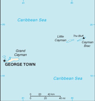
 The Cayman Islands were colonized from Jamaica by the British during the 18th and 19th centuries and were administered by Jamaica after 1863. In 1959, the islands became a territory within the Federation of the West Indies. When the Federation dissolved in 1962, the Cayman Islands chose to remain a British dependency.